Swiss professional drone maker, senseFly, has signed an agreement with Maptek, experts in precision measurement and visualisation for the mining industry, that enables Maptek to offer its customers a full, end-to-end data collection and analysis solution.
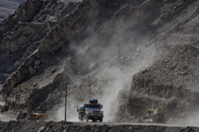
Under the terms of the agreement, Maptek will begin providing North American customers in mining with senseFly’s professional mapping and inspection drones (eBee, eBee RTK and albris) alongside its popular I-Site Studio 3D modelling software. There is much more detail to be found on sensefly in the drones/UAS article in the October issue of International Mining.
‘By combining a senseFly UAV with our I-Site Studio 3D modelling software, customers now have a powerful solution that is driven by survey requirements, as well as the in-depth modelling, change detection and data output requirements demanded by mining professionals,’ said Todd Packebush, Maptek Director of I-Site Sales & Business Development.
‘senseFly durable, largely automated mapping drones are already employed by thousands of professionals, such as mining engineers, around the world, who appreciate the productivity and safety boosting benefits of collecting geospatial data from the air,’ added Jean-Christophe Zufferey, senseFly CEO.
‘By partnering with Maptek we are joining forces with one of the industry’s most respected and recognised solution providers, a company that is perfectly positioned to help bring such benefits to even more mining professionals.’
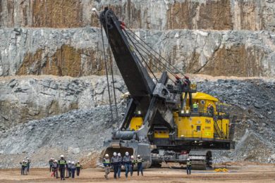
Founded 35 years ago, Maptek™ is a leading provider of innovative software, hardware and services for global mining. Maptek solutions are used at more than 2,000 sites in 75 countries, with applications across the mining cycle. Maptek develops industry-leading software Vulcan™, Eureka™, Evolution and BlastLogic™ for mine evaluation, planning, design, scheduling, operation and rehabilitation. I-Site™ is integrated hardware and software for 3D laser scanning, surveying and imaging. The spatial data collected can be used for geotechnical analysis, stockpile measurement, design conformance and movement tracking supported by software systems I-Site Studio, Drive, PerfectDig™ and Sentry.
senseFly develops and produces aerial imaging drones for professional applications. Safe, ultra-light and easy to use, these highly automated data collection tools are employed by customers around the world. senseFly was founded in 2009 by a team of robotics researchers and quickly became an industry leader in mapping drones.