


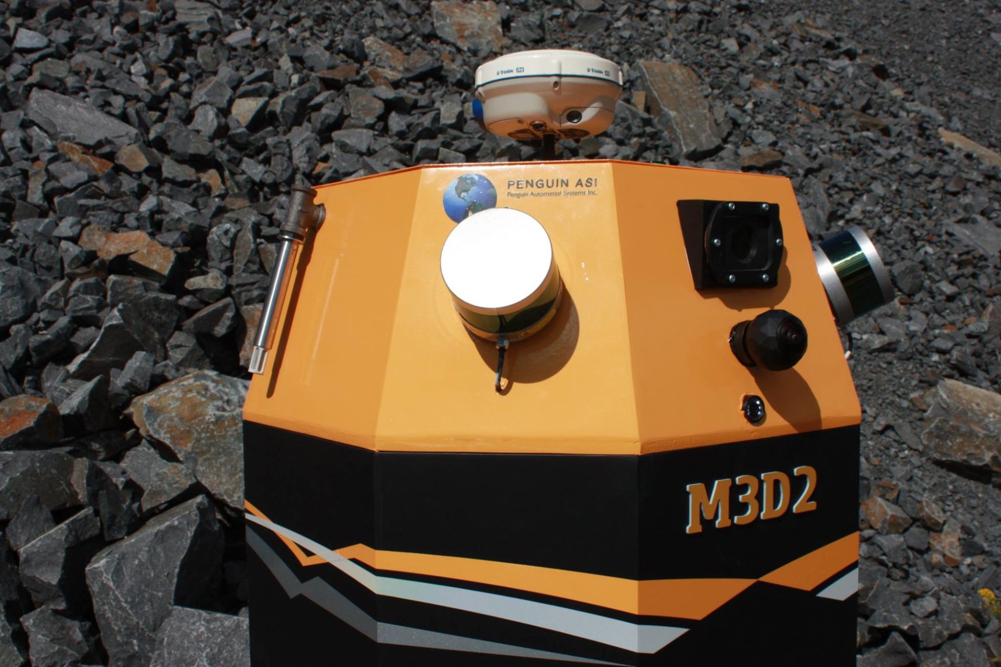
M3D2 is a Smartphone operated droid from Penguin ASI that gathers geospatially correct information about difficult to go or no-go areas and situations wirelessly. The droid works based in a number of ways to gather very accurate positions in both GPS and GPS denied environments. With the addition of any form of scanning system 3D maps can be provided to anyone solving a tough mapping problem. Further sensor packages can provide for example environmental information such as temperature, pressure, velocities and other information to understand ventilation in a mine.
M3D2 is also able to add various others information gathering for specific situations.