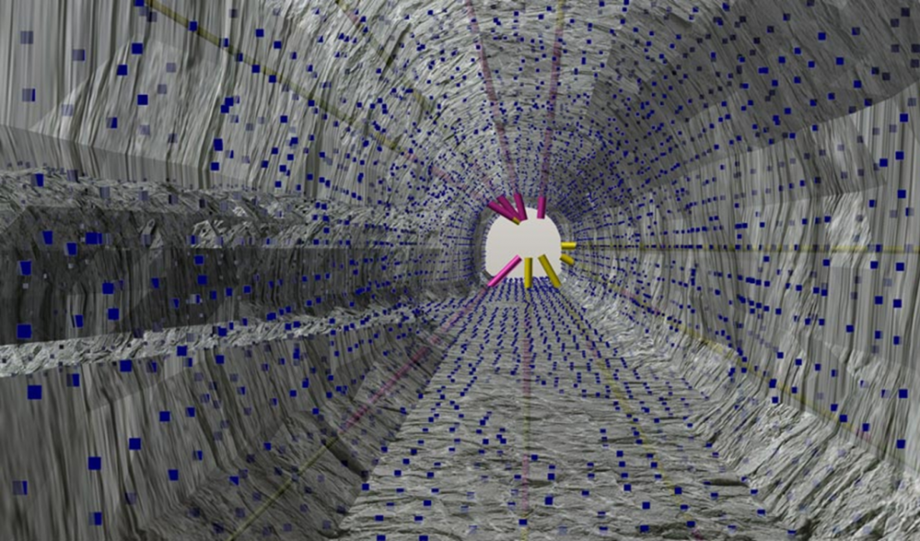
Despite a lack of understanding about what it actually is, Implicit Modelling has developed a strong following amongst modelling software companies, allowing for the process of data modelling to be sped up, for a more efficient operation. Implicit modelling uses radial basis functions (RBFs) to model grade shells, lithology boundaries, faults or surfaces. These wireframes are readily displayed in Vizex and are a valuable tool for finalising geological or grade interpretations.
MICROMINE states: “Despite a lack of understanding about what it actually is, Implicit Modelling has developed a strong following amongst modelling software companies. It’s value to mining companies in particular has been enormous as it allows for the process of data modelling to be sped up, thus allowing for a more efficient operation. It has also eliminated the personal perceptions of geologists because of its numerical process which helps reduce result bias.”
“What is likely hindering an understanding of Implicit Modelling is the lack of knowledge around what a true implicit model is. Firstly, a true implicit model is just a big equation that covers the entire volume under investigation. This has infinite resolution however, doesn’t always produce a visible result. Secondly, a true implicit model can be queried in an infinite number of ways without having to recalculate the equation. Applications that don’t support a true implicit modelling framework must recalculate the entire solution each time. The methods they use to produce the resulting triangulated model are generally less sophisticated too.”
“It’s important to realise that implicit modelling has not replaced traditional modelling or stratigraphic methods as the ideal way to model data, rather instead an alternative method that is suited to some orebodies and not others. Previously, computers were unable to handle the size of the calculation required to produce the model, and as they developed more power, became equipped to handle the calculations. One of the other biggest changes over time was the integration of implicit modelling into mainstream mining software and the expansion of modelling applications into mainstream mining.”
Today, it is becoming more and more mainstream within the minerals industry as seen through the adoption of the software by most general purpose mining applications. It was featured prominently in the 2014 edition of AusIMM Monograph 30 (Mineral Resource and Ore Reserve Estimation: The AusIMM Guide to Good Practice). “Once again, it is important to remember that this is not meant to replace other methods, simply expand the range of methods available to geologists.”
MICROMINE’s first product launched into the mining world back in 1986, named after the company itself, Micromine. Supported by a large research and development (R&D) program, MICROMINE develops the most intuitive, innovative, commercially advanced and affordable solutions available within the market place. “MICROMINE’s R&D program is managed by experienced specialist staff that understand the industry and can therefore anticipate the market’s needs. Significant in-house knowledge is complimented by continual input from the company’s global client base, ensuring the solutions remain relevant and continue to meet, and pre-empt, the needs of the global mining and exploration sector.”
The Micromine 2016 release in May 2016, delivers several enhancements for Implicit Modelling, which include support for variable structural trends within a model, the ability to save and re-use the implicit model equation, which was always discarded between runs. The future of Implicit Modelling software is not only gaining mainstream popularity as it is integrated within mining applications, it is believed geologists will use Implicit Modelling to generate grade within the orebodies along with the orebody boundaries.
Frank Bilki, Technical Product Manager at MICROMINE said “Although this is actually possible right now, the results can’t be used for reporting or production planning because the grade values don’t have the necessary supporting data provided by traditional grade estimation methods. Advanced rendering methods like stereoscopic 3D and immersive reality will increasingly be used for all forms of geological modelling.”


