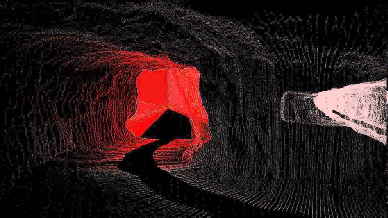
The Eastern Australian Ground Control Group recently invited PETRA Data Science Principal and Founding Director, Penny Stewart to contribute her thoughts on machine learning applications in geotechnical engineering. Stewart took the opportunity to demonstrate how machine learning AI enables fully automated ore fragmentation assessment, and into the future could be developed to automate geotechnical inspections using 3D mapping data (digital surveying).
“Machine learning algorithms use laser 3d mapping data to automatically assess ore fragmentation in less than a minute. The algorithms have been trained to automatically remove concrete floors and shotcrete from the assessment, and are unaffected by dark, wet, dusty and humid underground mine conditions. Until now, ore fragmentation assessment required an hour of manual processing, off-site processing, and/or very high lighting.”
These algorithms can also be trained to carry out geotechnical inspections using 3d mapping data (digital mine surveys). “For example, we expect to be able to train these algorithms to recognise spalling, cracked shotcrete, plate deformation, missing plates and mesh bagging. Whilst these algorithms won’t be as accurate as a professionally trained geotechnical engineer, they have the potential to cover large areas quickly as part of digital mine surveys using LiDAR/laser 3D mapping. Together, 3d mapping and machine learning AI offers an array of exciting opportunities for geotechnical engineering, not just for underground, but also for open pit wall inspections/assessment.”
PETRA® says it “enables mining companies to capitalise on their big data assets. We assist companies in moving beyond tracking, reporting and incremental improvement, and into machine learning, big data integration and prediction.” Photo source: http://ugpsrapidmapper.com/UGPSRapidMapper


