


Seequent, a world leader in visualisation solutions for earth, environment and energy challenges, today launched mineral resource estimation solution Leapfrog® EDGE. Leapfrog EDGE supports and advances industry practices in mineral resource estimation by applying the highly dynamic, intuitive and visual capabilities that Leapfrog 3D geological modelling solutions are world-renowned for.
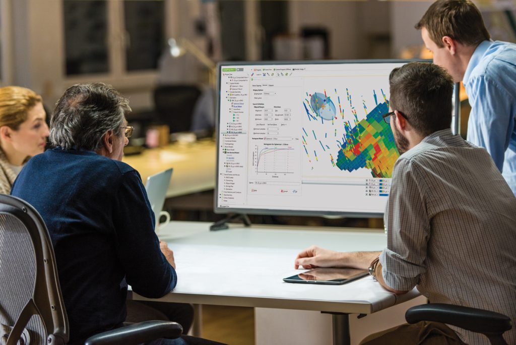
In a streamlined workflow, Leapfrog EDGE introduces innovative 3D visualisation to resource estimation alongside industry standard tools for estimating, domaining, geostatistical evaluation and reporting.
Seequent’s solutions turn complexity to clarity by transforming complex data into clear geological understanding. Leapfrog EDGE was developed in collaboration with industry experts and is available either within the Leapfrog Geo geological modelling solution, or as an individual product.
Shaun Maloney, Chief Executive of Seequent (formerly ARANZ Geo), says “Reliable resource estimation is critical to create confidence for all levels of decision makers. The geological model is the foundation of any resource estimate so it was a natural progression to develop a Leapfrog solution for resource estimation. Leapfrog EDGE builds on the success of Leapfrog Geo which allows 3D geological models to be built in a very dynamic and intuitive way.”
Using Leapfrog EDGE within Leapfrog Geo creates a fully integrated workflow between the geological model and the resource model, allowing users to stay in the very visual and dynamic Leapfrog environment. Estimates are built from the Leapfrog model, avoiding data corruption and error. A key feature of this integration, is ‘dynamic updating’, where users can add data or revise their interpretations at any stage in the workflow and these changes will automatically flow downstream and update.
Seequent Director of Product and Innovation Tim Schurr, says, “This seamless connection increases confidence as the user can give a stronger emphasis to providing a robust geological model to underpin the estimate. Introducing this simple but substantial step delivers major benefits as users can manage change as they continue to interpret the geology and make use of the latest information.”