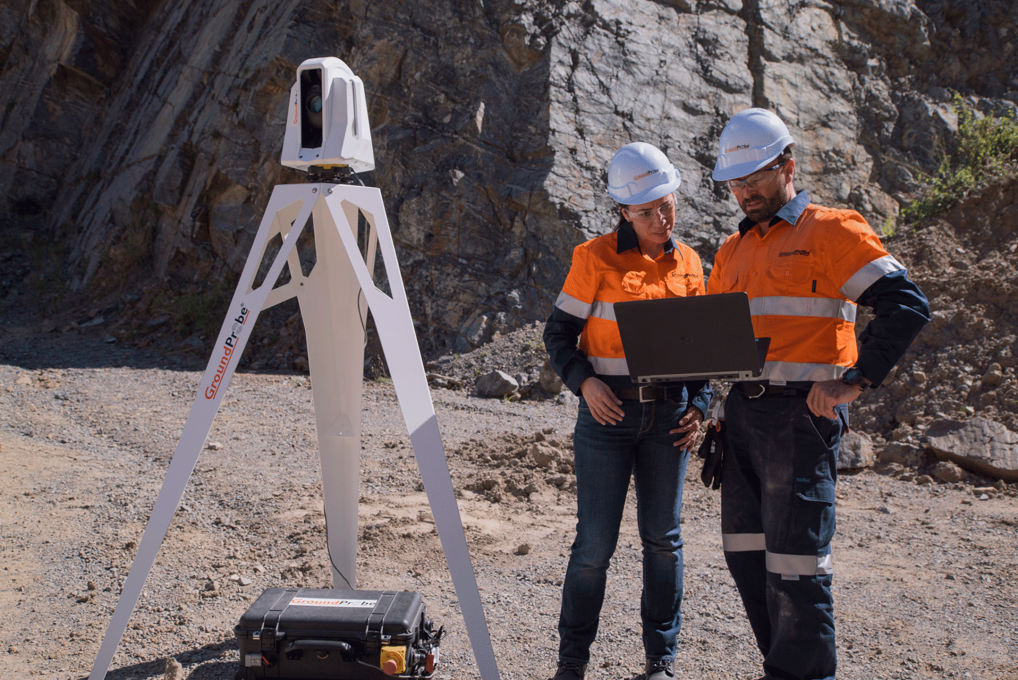
GroundProbe has released its first laser-based monitoring solution to give early warning of impending collapses of open-pit mine walls, dams, mine dumps and vegetated slopes, that can begin months or years before a collapse occurs.
The Geotech Monitoring Station (GMS) replaces traditional total stations that rely on mirrored prisms to be attached to the slope. The system can scan these points, but can also reflect its signal directly off the rock without the need for prisms; reducing the need for a dangerous industry practice.
“Prisms can be dangerous to install, inflexible to changing ground conditions and their repair or replacement can be unsafe, time-consuming and expensive,” said Lachlan Campbell, GroundProbe’s VP of Marketing and Technology.
The GMS is able to achieve excellent ‘virtual point’ precision by applying GroundProbe’s patented radar signal and data processing techniques to the long-range laser.
“With capabilities well beyond that of typical robotic total stations, the GMS is a complete-end-to-end intelligent monitoring solution with smart data capture, processing and analysis,” said John Beevers, GroundProbe’s Chief Executive Officer.
“The GMS, and the prisms and points it monitors, complements our Slope Stability Radar suite to provide a complete monitoring strategy for our customers, allowing them to better manage risk, increase productivity, and ensure maximum safety.”
As an Electronic Distance Measurement (EDM) LiDAR, the GMS monitors through automatically measuring hundreds or up to a thousand discrete points on a wall, in the form of physical and virtual prisms.
“Like all of our products, it’s not just a piece of hardware, but a comprehensive, complete monitoring system,” said Product Manager, Fernanda Carrera.
“The GMS monitors vast mine areas for long periods of time of many months to many years. It specialises in background monitoring in open cut pits and highly vegetated slopes, as well as detecting and measuring small-scale movement, on tailings dams, dumps and cuttings, that precede a collapse,” she said.
The GMS joins GroundProbe’s innovative and ever-growing suite of products as a long-term, background monitoring tool.
“Our patent-pending visualisation technique that co-locates data with the ultra-high definition images captured by the GMS’s dual cameras is a step change in data visualisation for prism monitoring,” said Carrea.
“Automatically visualising data and heat maps on high-resolution photos, or in 3D, sets the GMS apart from existing solutions, which often force users to view data in a table rather than more intuitive visualisations. The GMS’s integration with GroundProbe’s SSR-Viewer software solves these shortcomings.”
The dual camera imaging capabilities of the GMS, wide-angle and telescopic, permits users to precisely see and control the locations of points in real-time whilst providing the ability to conduct remote visual inspection.


