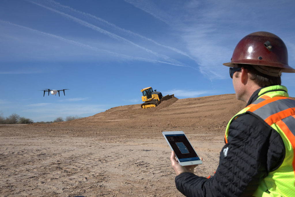
Kespry, the drone-based aerial intelligence solution provider, today announced its new Site Planning Toolkit designed to increase site profitability, productivity, and safety. The new toolkit it says “enables site owners, engineers, and operators to drive decisions faster than ever. Previous processes often relied on expensive engineering teams and complex software to analyse survey data.”
With the new toolkit, customers can also create, track, and analyse the progress of earthworks, extraction, and safety work in their sites – all continuously updated via an autonomous drone flight with data delivered in as little as two hours. This will enable them to make more immediate adjustments to work, while ensuring their teams are working in safe conditions around the site.
“With the Site Planning Toolkit, Kespry is addressing key frustrations with how operational decisions are made,” said George Mathew, CEO and Chairman, Kespry. “Same-day, accurate analytics mean the elimination of production delays caused by long data capture and analysis processes. Now, site owners and operators can quantify the amount of material moved or blasted across active sites in granular detail and as frequently as their businesses need. We’re delivering on a comprehensive vision that allows professionals across these industries to make the most profitable and timely decisions possible while meeting safety and compliance requirements.”
“We’re using Kespry for site planning because we want as much accuracy as we can get,” said Rob Manatt, Project Manager, Wendling Quarries. “Specifically that’s helpful on pre-strip and post-strip projects. It gives us a sense of confidence knowing that we’re using Kespry and are within centimeter accuracy on our volume calculations.”
Key benefits and capabilities of the new Kespry Site Planning Toolkit include:
- Timely tracking of earthworks and site status with elevation profile data—The Kespry Cross Section tool automatically generates elevation profile lines created in the Kespry cloud and can automatically compare that profile to data from previous flights or a design plan. This empowers site managers to access and assess site progress with greater detail than ever.
- Accurate material extraction planning and progress tracking with 3-D volume modeling—The Kespry Model Volume tool enables users to create a 3-D polygon when calculating the quantity of material to be removed for proposed excavation and blasts. This enables site managers to more accurately estimate quantities to better plan and schedule earthmoving operations.
- Improved compliance and safety through ongoing tracking of haul roads, berms, and other site features—The Kespry Compliance and Safety tool uses artificial intelligence and machine learning to automatically detect, monitor, and alert users of non-compliant and dangerous slopes, berms, roads, and benches throughout the site. This also helps keep employees out of harm’s way by knowing issues to address and avoid.
“In a quarry situation, you have to deal with high walls,” said Ken Kampman, Survey Manager and Operations Manager, Fred Weber Construction. “When you get down there at the bottom of those high walls, you risk facing falling rocks. Kespry keeps us away from the walls, it keeps us away from the top of the berms. Kespry also keeps us out of the path of any quarry trucks, dozers, and all that stuff. It just keeps us away from any potential danger. We use Kespry to do our site extraction planning. It lets us look at our contours so we can keep everything straight and calculate projected volumes for future blasting.”


