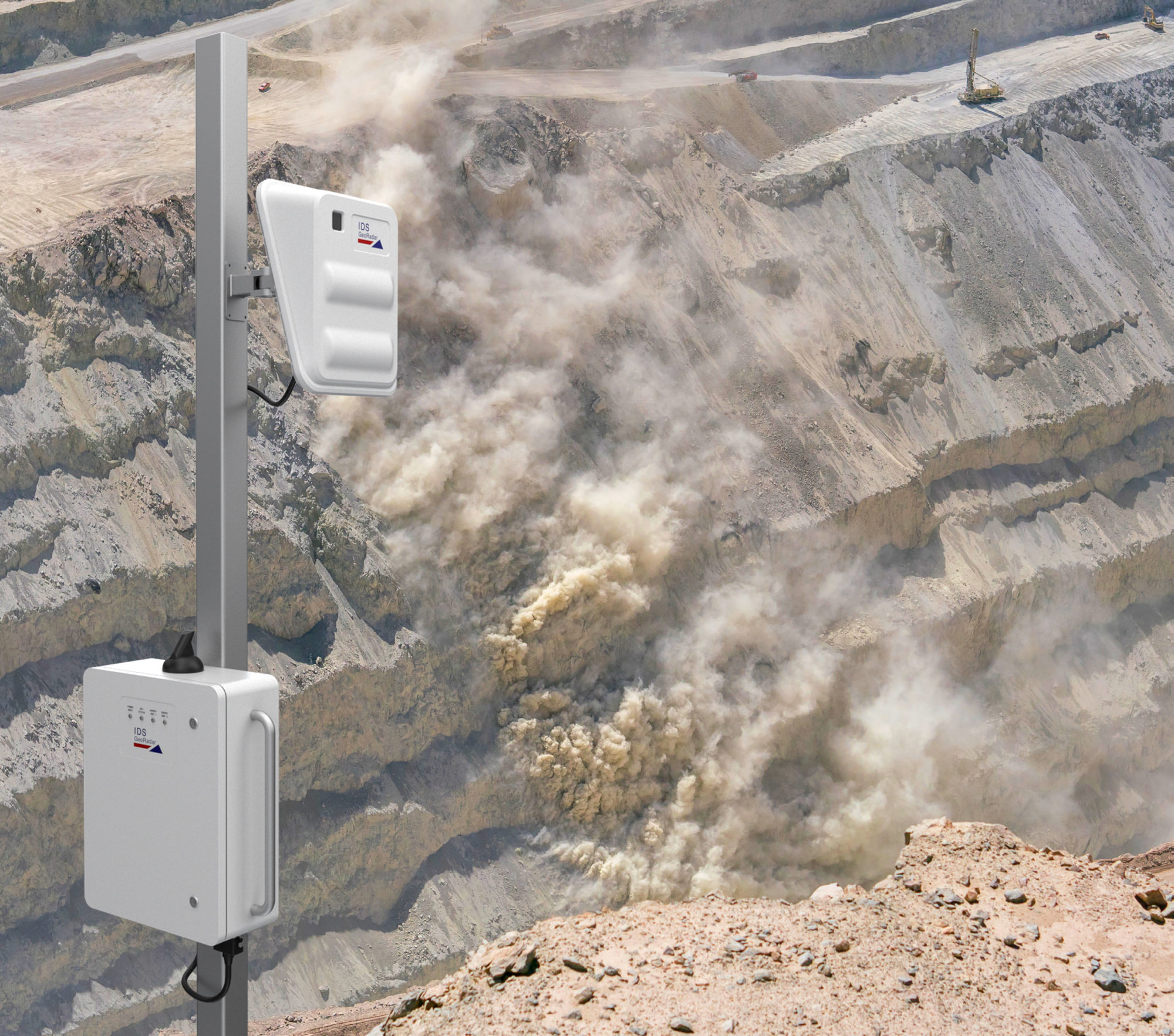
Hexagon AB has announced the launch of IDS GeoRadar RockSpot, a radar system that fills a gap in the monitoring of natural and engineered slopes.
The system detects, tracks, and analyses the slightest movements from rockfalls, avalanches, and other fast-moving landslide debris flow, according to the company.
“RockSpot creates real-time alerts that can be connected to on-site alarms (eg sirens, automatic road closures or other alert devices). Georeferenced, recorded event data provides advanced statistics and analytics for risk assessment and vulnerability zone mapping, the company said.
Ola Rollén, Hexagon President and CEO, said Hexagon is committed to empowering customers to put data to work and, in the case of RockSpot, “they’re able to leverage data to protect workers and the general public in high-risk areas of potentially catastrophic events”.
He added: “This intelligent safety solution, designed to withstand all weather conditions, continuously monitors day and night.”
RockSpot can identify rockfalls up to 2 km from the slope, as well as avalanches and other fast-moving events, like mudflow and debris flow, up to 4 km from the slope.
With a coverage field of 40° vertical and 80°horizontal, the system can consistently monitor an entire mine wall or natural slope at high resolution with a single radar unit, according to the company.
Hexagon said: “RockSpot’s alerts can be customised sector by sector using advanced algorithms that distinguish rock movements from other moving objects, such as haul trucks, animals and people.”


