Sandvik Mining and Rock Solutions has introduced the AutoMine® Mapping Solution, an innovative new product designed to, it says, maximise productivity and improve safety of autonomous vehicle navigation in underground mining operations through the use of mapped data.
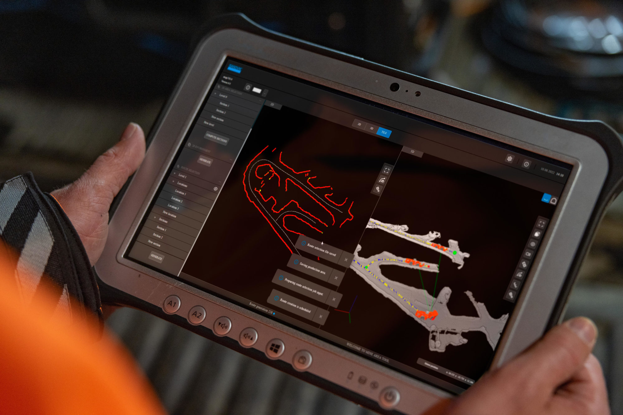
The AutoMine Mapping Solution is Sandvik’s next generation product that enables a vehicle to safely record an underground 3D environment with a mine mapping tool, and convert 3D maps to 2D. Faster configuration, and the possibility to continue to operate other equipment within the area while it is being mapped, increases productivity and efficiency, it says.
Innovative technology within the solution reduces the time and cost involved in manual mapping and enables a safer, more efficient autonomous underground operating environment. It can be used on all types of underground equipment (LHDs, trucks and drills), eliminating the need for dedicated equipment and resource to map the area.
“With AutoMine Mapping Solution, we are progressing to the next generation of innovative automation solutions, bringing new technologies to the underground mining industry which are designed to maximise our customers’ productivity and safety,” Ty Osborne, Product Line Manager Underground Automation Sales at Sandvik Mining and Rock Solutions, says.
“AutoMine Mapping Solution is easy to use and turns real-time data from the mine into 3D models, providing a clear customer advantage in the planning and prioritising of their automated operations and increasing production control.” says Osborne.
The solution will be available to order later in 2022.


