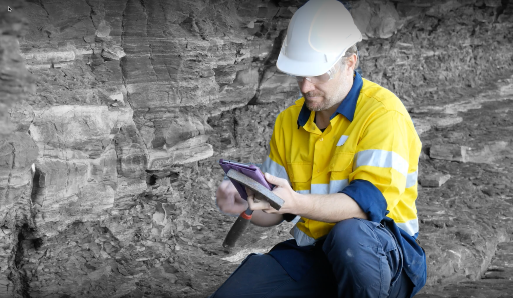
Global information management software company, acQuire Technology Solutions says it is enabling geologists to manage their geoscientific data more efficiently with the latest GIM Suite 5.3 software release.
GIM Suite has been built for the future of data management, with the aim to improve the way geologists and miners manage their data. The latest GIM Suite 5.3 release introduces a secure REST API for seamless, third-party system-to-system integration and builds on existing features to improve logging methods for diverse data capture scenarios in mining and exploration, as part of the collection of new features available.
Charl Retief, acQuire’s Mining Value Stream Leader, says acQuire is continually evolving GIM Suite to ensure customers are working with the leading software for geoscientific information management. “The new REST API provides a secure and seamless way to access and transfer your geoscientific information across your mining software eco-system. For GIM Suite customers and third-party vendors, you can utilise the REST API when developing integrations to query, create and update data stored in GIM Suite. This eliminates the need for manual import and export data routines, or writing SQL scripts, all while adhering to your business rules on site.”
In addition to the REST API, GIM Suite 5.3 also empowers customers to log data in their preferred way using GIM Suite’s graphical logging interface or a grid-based view. “Geologists can create and group multiple samples and log intervals more efficiently now, while adhering to any company validation rules set,” explains Retief.
“Rapidly capturing data and validating records on entry is now simpler. With GIM Suite 5.3, you can use grid-style logging with a keyboard and use keyboard shortcuts to navigate and easily enter your data.”
Additional enhancements to despatch tasks and GIM Suite’s web-based task menu and properties have also been included in GIM Suite 5.3 to allow for greater user flexibility and an enhanced user experience. acQuire’s GIM Suite it says is designed to support users in making confident decisions using their geoscientific information.


