


Trimble has announced its new Trimble® Reality Capture platform service to, it says, enable more effective collaboration and the secure sharing of massive reality capture datasets captured with 3D laser scanning, mobile mapping and uncrewed aerial vehicle (UAV) systems.
The service is available as an extension to Trimble Connect®, a cloud-based common data environment and collaboration platform that has supported more than 30 million users to date. This service is the most recent addition to the Trimble connected workflow ecosystem, connecting the physical and digital worlds and unlocking the transformative power of reality capture data.
Built to drive deeper collaboration among owners, contractors, surveyors and more, the Trimble Reality Capture platform service offers a secure and intuitive web-based solution for point clouds and 360° imagery. Professionals across industries such as mining can now collaborate on complex reality capture projects faster and easier, while maintaining data integrity by retaining original accuracy.
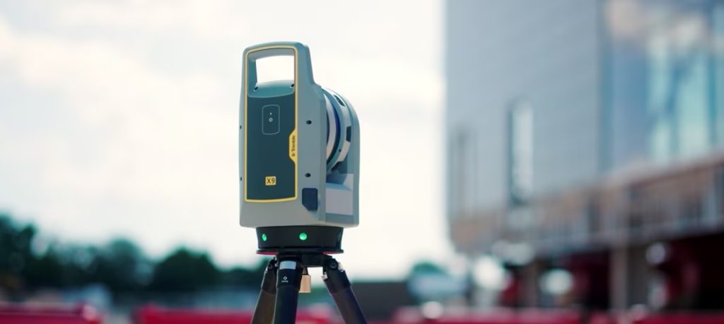
This new service securely democratises access to reality capture data, including massive datasets captured by mobile mapping by terrestrial laser scanners like the Trimble MX series and Trimble X9, as well as data from third-party hardware. Leveraging the extensibility of Trimble Connect that integrates data across Trimble connected software solutions, including Trimble ProjectSight construction management software, SketchUp® 3D modelling tool and Tekla® structural BIM software, as well as third-party system integrators, this new service makes reality capture data accessible to various users. This enables project stakeholders to make more informed decisions and increase operational efficiency by further connecting the site to the office, for end-to-end management throughout a project’s lifecycle.
Trimble integrated Microsoft Azure Data Lake Storage and Azure Synapse Analytics to reduce the time ingesting, storing and processing massive datasets. The service is designed to optimise and synthesise data of all sizes for highly efficient management and use of reality capture data throughout connected workflows.
“This new service applies cloud technology in a new way for large data packages, allowing users to significantly scale performance and maximise data value,” Boris Skopljak, Vice President, Geospatial at Trimble, says. “Anyone can now benefit from accessing complicated reality capture data through a simple web interface, making it easier than ever to leverage geospatial information to drive better outcomes at every step of the design-build-operate lifecycle. With this launch, we are a step closer to realising living digital twins and artificial intelligence applications at scale.”
Wangui McKelvey, General Manager, Azure Data Analytics at Microsoft, said: “Utilising the power and multilayered, built-in security controls of Microsoft Azure in combination with Trimble’s reality capture capabilities transforms scanning workflows to reduce point cloud analysis time from hours to minutes. Enabling datasets of virtually any size to be easily shared and analyzed across teams means better, safer and more efficient output both on the job site and in the office.”