


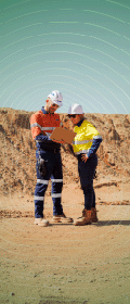


Fleet Space Technologies has announced plans to deploy its end-to-end mineral exploration solution, ExoSphere, to enhance Gold Fields’ data-driven exploration and development of its Salares Norte project in northern Chile.
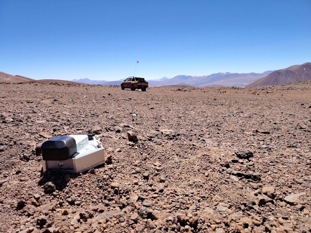
ExoSphere will be used to generate 3D subsurface imaging of the Brecha Principal and Agua Amarga resource areas and surrounds with the aim to generate new insights and understandings about the mineral system and its structural setting. Additionally, the survey will be used to generate new exploration targets in the near field of the BP-AA system.
“Fleet Space and Gold Fields share a vision of applying the powerful capabilities enabled by advanced satellite connectivity, 3D multiphysics, and AI to unify the end-to-end exploration journey and deliver more sustainable outcomes at scale on the path to discovery,” Flavia Tata Nardini, Co-Founder & CEO of Fleet Space Technologies, said. “We are proud to deploy ExoSphere to further Gold Fields’ data-driven exploration and ESG targets, reinforcing their position on the forefront of innovation and supporting the development of their world-class operation in Chile.”
Home to the Brecha Principal deposit and Agua Amarga resource, Salares Norte is located on the Maricunga Belt in the Andes Mountains between 3,900–4,700 m above sea level in the Atacama region of Chile. In March 2024, first gold was poured, marking a significant milestone and technical achievement for the project. Due to the remote location, challenging terrain and harsh seasonal conditions, Gold Fields has had to develop innovative strategies and engage new technologies to enhance its exploration activities whilst maintaining a low environmental footprint. Gold Fields was an early adopter of Fleet Space’s end-to-end solution, Exosphere, at its St Ives operation in Australia. Based on these results and the near-zero surface impact of Fleet Space’s smart seismic sensors (called Geodes), the application of ExoSphere at Salares Norte was a logical step to provide low-impact, rapid 3D subsurface imaging, Fleet Space says.
Tata Nardini added: “In the field of mineral exploration, ExoSphere has been used to conduct the world’s largest real-time ANT survey in Australia’s Macquarie Arc and now the world’s highest real-time ANT survey on Chile’s Maricunga Belt – radically scaling the mining industry’s ability to enhance mineral systems knowledge of highly remote opportunity zones across vast distances and at unprecedented altitudes while minimising environmental impact.
“We look forward to partnering with the dynamic Chilean mining industry to unlock next-level insights and sustainability benefits across their exploration value chain.”
The architecture underlying ExoSphere integrates the latest advances in satellite connectivity, 3D multiphysics and AI into a single end-to-end solution. Fleet Space’s satellite network in low Earth orbit, smart seismic sensors with edge computing, and rapid data processing enable ExoSphere to deliver real-time 3D mapping of mineral systems and AI-powered targeting recommendations with near-zero environmental impact. By unifying the data acquisition, processing, integration and targeting steps of the end-to-end exploration journey, ExoSphere makes exploration more dynamic and precise by giving remote on-site teams real-time access to actionable insights, it says. This radically streamlines data operations, enhances the quality and speed of onsite decision making, while also reducing environmental footprint at scale.