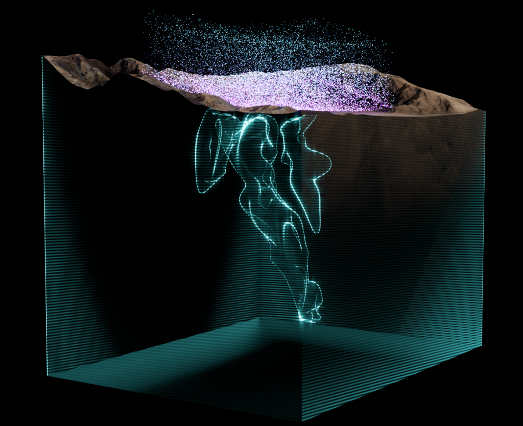
Fleet Space’s mineral exploration solution, ExoSphere, is taking another step on its mission to becoming an end-to-end multiphysics platform powered by space and artificial intelligence (AI) with the addition of gravity surveys to its existing offering.
ExoSphere Gravity will now be available as an add-on to the real-time Ambient Noise Tomography (ANT) surveys used by over 40 industry leading exploration companies like Rio Tinto, Barrick Gold and Core Lithium. This means customers will be able to acquire gravity data in tandem with any deployment of an ExoSphere real-time ANT survey.
“Integrating gravity into our multiphysics offering represents Fleet Space’s commitment to delivering world-class, end-to-end exploration services that complement and enhance the data-driven strategies of the global mining industry,” Co-Founder & CEO of Fleet Space, Flavia Tata Nardini, says. “By leveling up traditional geophysical methods with ExoSphere’s vertically integrated hardware stack powered by space and AI, we can maximise the value of multiphysics datasets like gravity and decrease cost per discovery, all while minimising environmental impact. Reducing the friction between data acquisition, integration and targeting is essential to accelerate the path to discovery.”
Simultaneous acquisition of high-quality ANT and gravity data not only reduces the time and resources needed for data collection and minimises in-field logistics, but also enables the delivery of ANT survey insights plus two powerful gravity datasets with a single ExoSphere deployment, Fleet Space says. It does this through:
- Cover-corrected gravity model: False positives are common with gravity anomalies due to the geometry of the cover/basement contact. Leveraging ANT data, ExoSphere will automatically conduct a cover correction of the gravity data to remove false positives with geological review and oversight from the Fleet Space team. This approach enables customers to make more precise targeting decisions by enhancing the accuracy and maximising the value of their gravity datasets; and
- 3D density model: Density, as measured by gravity surveys, and seismic velocity, as measured by ANT, are critical metrics for effective mineral detection. The combination of ANT and gravity enables the creation of a 3D density model which provides customers a multidimensional view of subsurface structures, allowing for a clearer differentiation of rock types. The integration of these complementary datasets improves the identification of high-value targets, while also minimising the costs associated with data integration by other means, the company says.
Gerrit Olivier, Chief Scientist at Fleet Space, says: “Joint analysis of ambient noise tomography and gravity is critical to enhance vectoring into mineralisation and optimise drilling design. By simultaneously analysing multiple physical properties, we significantly de-risk and reduce the uncertainty of interpreting geophysical anomalies by delivering a far more comprehensive understanding of the subtle and significant geological connections of the subsurface composition.
“This integrated approach to multiphysics reduces false positives while also maximising the quality of data-driven decisions used to pinpoint high-value targets, making exploration faster, more efficient and ultimately more successful.”
To support the rapid and complex needs of drill planning and targeting, Fleet Space’s team of geologists and geophysicists will analyse and process ExoSphere Gravity data as part of the ANT survey workflow. This includes the development of a survey plan optimised for the complementary acquisition of the ground gravity and ANT data, in addition to the full suite of customer support provided by Fleet Space’s domain experts with interpretation, target ranking and account management.
The expansion of ExoSphere’s multiphysics offerings follows a series of deployments that have opened new frontiers in the scale and reach of exploration. This year, Fleet Space conducted the world’s largest real-time ANT copper survey across 1,800 sq.km of Australia’s Macquarie Arc in support of Inflection Resources exploration agreement with AngloGold Ashanti, the world’s highest real-time ANT survey with Gold Fields at Salares Norte in Chile and delivered 3D subsurface maps across 1,150 sq.km of Barrick Gold’s Reko Diq project.
By introducing gravity as an add-on to ExoSphere’s real-time ANT survey capabilities, Fleet Space says it is positioned to radically reduce the exploration search space and advance the data-driven targeting efforts of customers worldwide.


