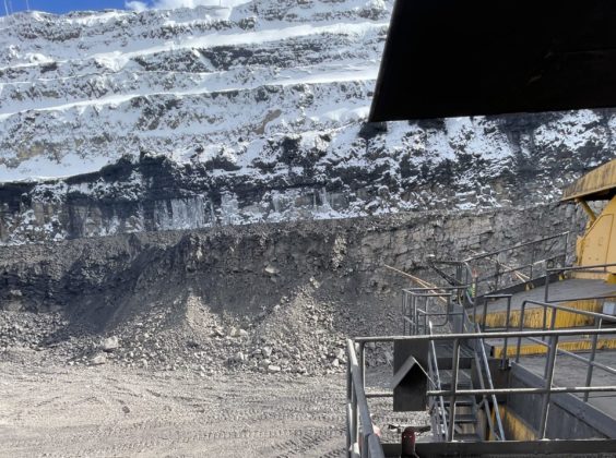
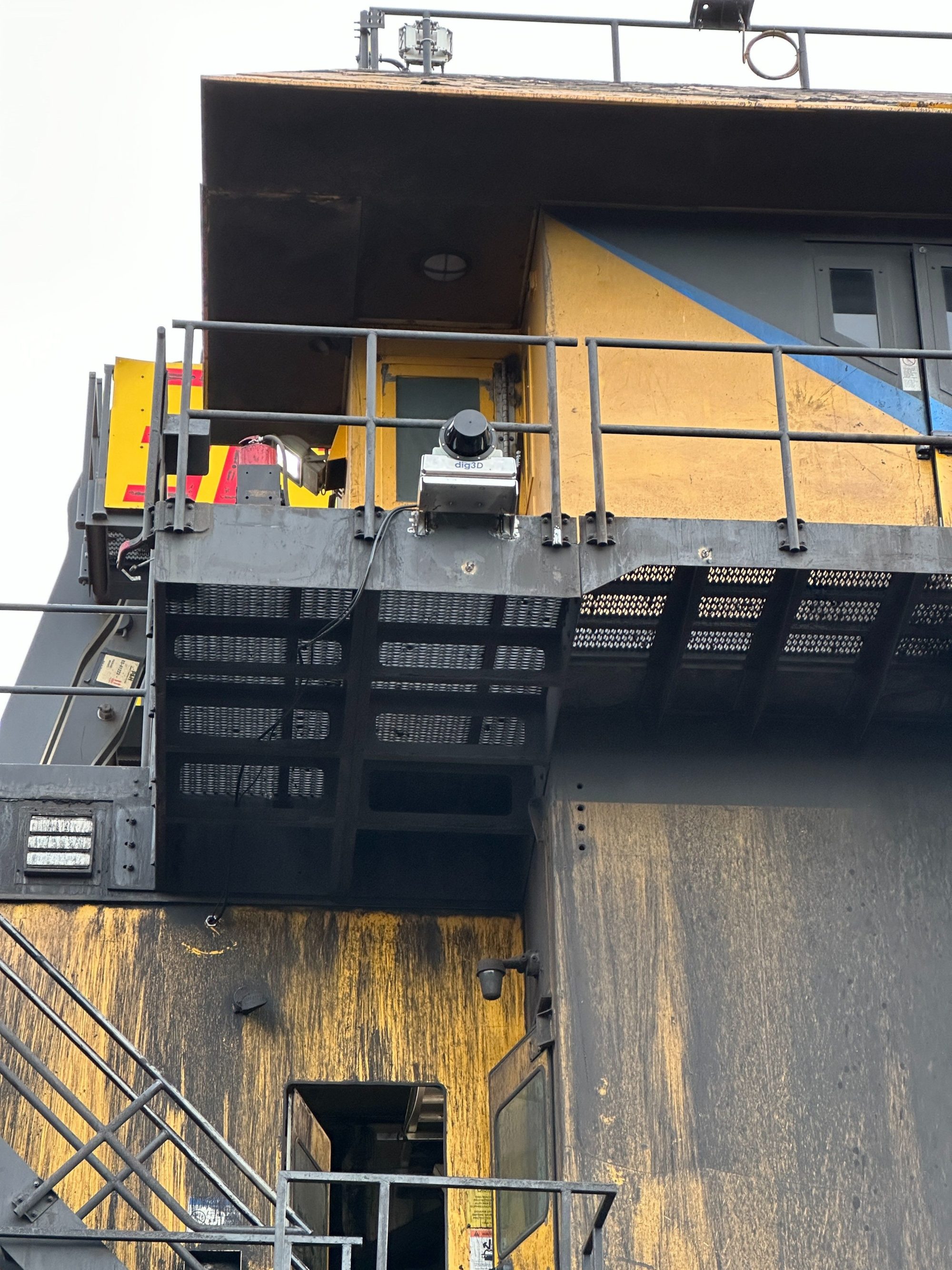
The trial of a next-generation shovel guidance system is showing the potential to accurately achieve design limits on highwalls at Elk Valley Resources’ (EVR) Elkview operation, the mine operator says.
The dig3D technology from Vancouver-based HummingBird Solutions Inc is currently being trialled at the British Columbia coal operation, after undergoing development by the company.
dig3D delivers a robust solution that enables mine operations to “dig efficiently to design” and “load precisely to capacity”, according to Ali Yaghini, Director, Technology and Development Lead for Hummingbird. By seamlessly integrating patented load-cell technology for accurate payload measurement with real-time LiDAR-based 3D scanning, it provides exceptional clarity and actionable insights, he added.
“This powerful combination significantly enhances operational efficiency, precision and productivity in mining activities,” he told IM.
The focus at Elkview is not on payload, but on achieving design limits at its highwall operations. Previously the operation has had to rely on the engineering and survey department to carry out this process, but Fraser Foulds, Senior Mining Engineer at EVR, sees potential for dig3D carrying out these assessments in the future.
“A product like dig3D could help reduce the number of shovel moves, thereby increasing our shovel operating efficiency while eliminating the need for drone scans to verify if design was achieved,” he told IM. “We are currently assessing the dig3D technology on one shovel at our Elkview Operations which will provide information about the potential of using the technology more broadly.”
Elkview is one of EVR’s four steelmaking coal operations in the Elk Valley of British Columbia. The four operations produced 23.7 Mt of coal in 2023.
Hummingbird echoes this potential, saying mine operations can realise immediate benefits with dig3D by eliminating the need to reposition shovels to clear residual in-situ materials from undug areas. Over the long term, the resulting smoother operation promotes adherence to the designed mine layout, substantially reducing the frequency and cost of revisiting and revising mine plans and road layouts, according to Charles Constancon, Hummingbird CEO and Principle Engineer. “Moreover, accurate payload measurements can reliably deliver proven productivity gains of 10% or more, achieved through a system that requires minimal maintenance and offers auto-calibration,” he said.

At the heart of dig3D is an advanced hardware and software package designed to integrate high-precision LiDAR data with geospatial inputs from High-Precision GPS (HPGPS) and IMU sensors. This integration generates a high-resolution, rapidly updated point-cloud representation of the shovel’s surrounding terrain, and captures shovel geometric features, including bucket positioning and machine location.
dig3D’s built-in, geo-referenced database captures and stores detailed snapshots of shovel activities, ensuring reliable historical data for precise analysis, according to the company. Additionally, dig3D+ (payload) is achieved with an auto-calibrated sensor add-on package that enables real-time and accurate measurement of bucket payloads, providing critical operational data essential for efficient shovel-truck operations, it says.
“By integrating with fleet management systems (FMS), dig3D+ (payload) also provides operators with valuable operational key performance indicators, including current bucket payload, truck payload, final truck capacity and truck load after adding the current bucket payload,” Hummingbird says. “This information, along with the number of trucks waiting in a queue, helps operators make informed decisions, optimising truck loading to prevent overloading or underloading.”
dig3D’s Supervisor app allows mine managers and supervisors to track mining progress visually and quantitatively in real time, the company says, fostering seamless collaboration among teams, even from remote locations. This connectivity ensures continuous, informed decision making across all operational levels.
“Perhaps the most transformative feature of dig3D is its comprehensive digital twin capability,” Hummingbird says. “By continuously capturing detailed digging activity and progress data, dig3D provides an unprecedented historical view of the mine. Teams can leverage this extensive historical data to analyse operational trends and plan future actions with exceptional precision.”
In 2024, Hummingbird completed proof-of-concept trials for dig3D and dig3D+, demonstrating system reliability, precision and effective integration with existing mine FMS and dispatch systems, it says.
The company is currently working to expand system functionality further, aiming to include material tracking based on specific dig locations, such as the work it is carrying out with EVR.


