No GNSS, no problem!
Applanix delivers autonomous mining with LiDAR navigation solutions for fully GNSS-denied subterranean environments

In rugged terrain, modern mining companies trust Applanix
Today, mining companies are exploring ways to mine more safely and sustainably, leveraging new autonomous technologies to maximise their production. And, because most mines are located in remote wilderness or deep underground, the solution must be equally rugged and reliable as it is accurate. Not only does Applanix’s mining automation technology drastically lower costs and improve operations in some of the most demanding conditions, it offers a viable solution for long standing industry challenges, such as labour shortages.
Peace of mind for any mine
Applanix can provide you with a hands-on approach to customised solutions to accurately and safely guide self-driving trucks in the most difficult GNSS conditions, whether it’s for open-pit or underground mines. Applanix’s inertial technology to generate stable, reliable, and repeatable positioning solutions for land-based vehicle applications delivers pin-point positioning, orientation, perception, and localisation in the most extreme environments.
Industry leading technology
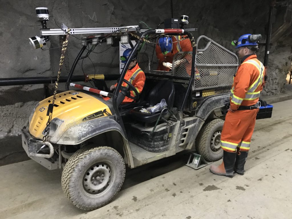
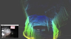
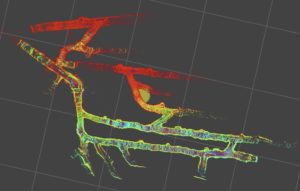
Applanix’s LiDAR navigation solution uses its proprietary real-time simultaneous localisation and mapping (SLAM) engine to enable its inertial navigation systems to operate in fully GNSS-denied subterranean environments by integrating inertial and LiDAR sensing data. Intermittent GNSS availability or surveyed LiDAR retro-reflectors are used to geo-reference SLAM trajectories and point cloud maps. These can then be used for real-time localisation as well as for data analytics such as tunnel deformation analysis.
By using an active sensor in GNSS-denied environments, coupled with changing light and environmental conditions such as dust and dirt, the Applanix LiDAR navigation solution accurately maps the environment, localises it in real time, and presents pass-to-pass data with an accuracy allowing for change detection. While SLAM is not a new technique to localise a vehicle, Applanix offers an advantage over traditional uses with a flexible implementation of the technology, either in standalone operating mode or used in concert with industry-leading POS LV technology.
Coupled with the Applanix POSPac post-processing software suite, real-time data can be further refined to geo-referenced point cloud data that provides very accurate base maps with geospatial data.


Applanix advantage
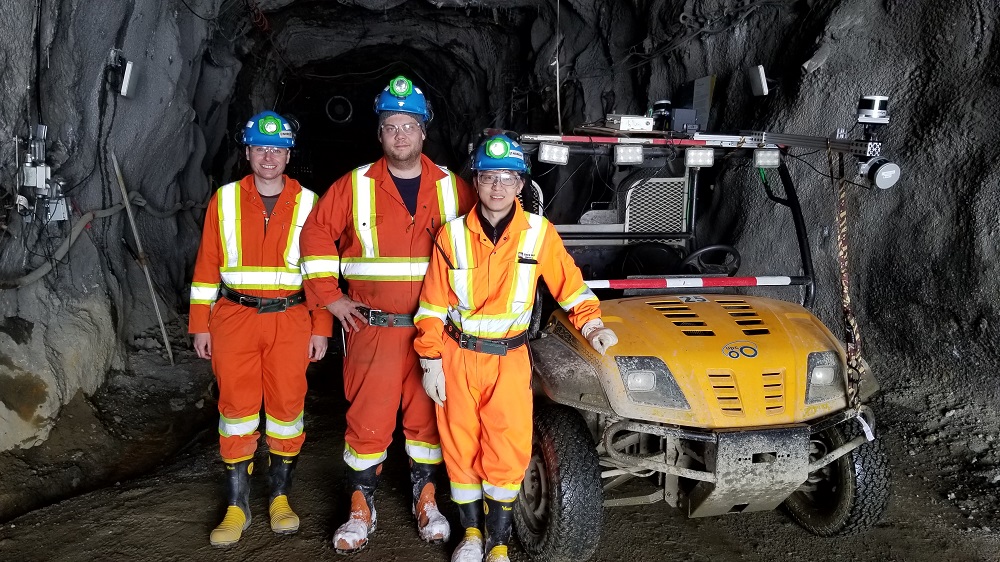
With over a decade operating GNSS-inertial and SLAM in mining environments, Applanix provides full on-site engineering consultation and testing. Offering OEM kits for seamless integration and industry-leading customer support, Applanix orients your business towards success.
Trust your position with Applanix
We live in a complex and dynamic world. As your business evolves, you need a partner that can adapt with you and help orient your business for success. Our systems, software, and solutions are designed for pinpoint accuracy, efficiency, and ease of use, supporting applications for mobile mapping, surveying, and autonomous vehicles. Like our solutions, we work for you in all environments, applying our deep expertise and passion to customise practical solutions that meet your complex needs, whether on the ground, in the air, or on water. In a dynamic world, trust your position with Applanix.


