Join us at The Electric Mine 2026
The Electric Mine 2026
Get IM Free
DOWNLOAD IM
Videos/Webinars
Interviews
Webinars
Videos
2025 Media Pack
Events
Pay Online
Contact
The Electric Mine 2026
Get IM Free
DOWNLOAD IM
Videos/Webinars
Interviews
Webinars
Videos
2025 Media Pack
Events
Pay Online
Contact
IM Magazine
IM Magazine Archives
Past Events
The Electric Mine | Perth 2024 photos
The Electric Mine | Tucson 2023 photos
The Electric Mine | Toronto 2019 photos
Event Papers
The Electric Mine 2023 Conference Papers and Videos
The Electric Mine 2022 Conference Papers
The Electric Mine Virtual Conference 2020 Papers
The Electric Mine 2019 Papers
Helpful Links
Filter by:
All Topics
Automation
Base metals
Bulk handling
Careers in mining
Coal technology
Comminution of minerals
Communications in mining
Diamond mining
Energy minerals
Environmental
Equipment maintenance
Explosives and blasting
Gem stone mining
General
High tech minerals
History of mining
HOF
Industrial minerals
IoT
Marine mining
Metallurgy
Mine operation news
Mine shafts and equipment
Mine surveying
Mine ventilation
Mineral commodities
Mineral exploration
Mineral processing
Mineral project development
Mining consumables
Mining equipment
Mining events
Mining finance
Mining industry recognition
Mining maintenance
Mining mergers and acquisitions
Mining people
Mining policy
Mining project news
Mining safety
Mining services
Mining software
Mining techniques
Power supply for mines
Precious metals
Spotlight Feature Article
Steel and iron ore
Sustainable mining
Uncategorised
Uncategorized
Undersea mining
Videos
Water management
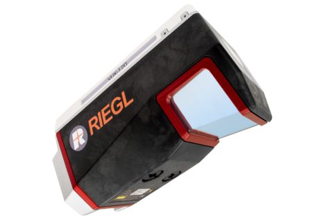
03 May 2022
RIEGL and DMT collaborate on tailored mining monitoring solutions
In a joint development between RIEGL and DMT, the RIEGL VZ-400i and VZ-2000i 3D terrestrial...
Read More
14 Jul 2021
Maptek cuts data capture time with new dual-window laser scanner
Maptek has released a new dual-window scanner that, it says, halves data capture time as...
Read More
16 Mar 2021
Hawk Measurement Systems releases OptioLaser L100 and L200 level transmitters
Hawk Measurement Systems has released new laser level transmitters that, the company says, are ideal...
Read More
09 Oct 2020
RIEGL’s LiDAR scanning advances to be displayed at INTERGEO 2020
RIEGL is using the upcoming INTERGEO 2020 DIGITAL event to showcase a line of new...
Read More