Join us at The Electric Mine 2026
The Electric Mine 2026
Get IM Free
DOWNLOAD IM
Videos/Webinars
Interviews
Webinars
Videos
2025 Media Pack
Events
Pay Online
Contact
The Electric Mine 2026
Get IM Free
DOWNLOAD IM
Videos/Webinars
Interviews
Webinars
Videos
2025 Media Pack
Events
Pay Online
Contact
IM Magazine
IM Magazine Archives
Past Events
The Electric Mine | Perth 2024 photos
The Electric Mine | Tucson 2023 photos
The Electric Mine | Toronto 2019 photos
Event Papers
The Electric Mine 2023 Conference Papers and Videos
The Electric Mine 2022 Conference Papers
The Electric Mine Virtual Conference 2020 Papers
The Electric Mine 2019 Papers
Helpful Links
Filter by:
All Topics
Automation
Base metals
Bulk handling
Careers in mining
Coal technology
Comminution of minerals
Communications in mining
Diamond mining
Energy minerals
Environmental
Equipment maintenance
Explosives and blasting
Gem stone mining
General
High tech minerals
History of mining
HOF
Industrial minerals
IoT
Marine mining
Metallurgy
Mine operation news
Mine shafts and equipment
Mine surveying
Mine ventilation
Mineral commodities
Mineral exploration
Mineral processing
Mineral project development
Mining consumables
Mining equipment
Mining events
Mining finance
Mining industry recognition
Mining maintenance
Mining mergers and acquisitions
Mining people
Mining policy
Mining project news
Mining safety
Mining services
Mining software
Mining techniques
Power supply for mines
Precious metals
Spotlight Feature Article
Steel and iron ore
Sustainable mining
Uncategorised
Uncategorized
Undersea mining
Videos
Water management
04 Jun 2025
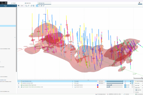
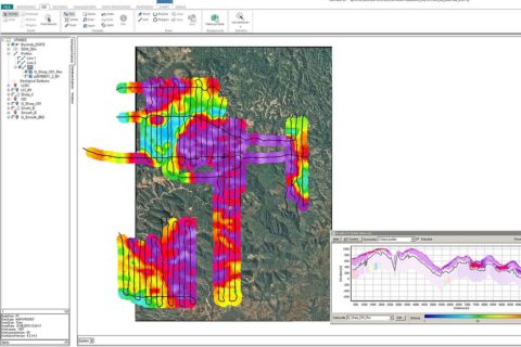
Seequent out for faster, smarter geological modelling and resource estimation with Leapfrog 2025.1
Seequent, The Bentley Subsurface Company, has unveiled what it says is a landmark release of...
Read More
03 Mar 2025
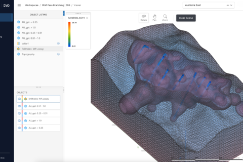
Seequent out to integrate geoscience data into one platform with Evo
Seequent, The Bentley Subsurface Company, has introduced Seequent Evo, a cloud-based platform designed to help...
Read More
09 Oct 2024
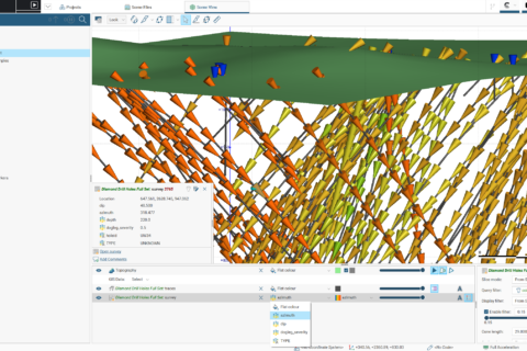
Orica looks to deliver real-time drill workflow to geologists with AXIS Connect
Orica Digital Solutions has announced the launch of AXIS Connect™, an open, secure and integrated...
Read More
19 Sep 2024
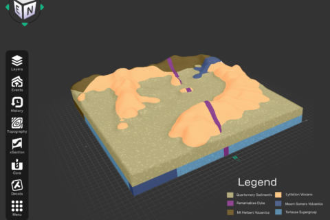
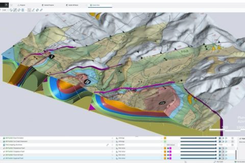
Leapfrog continues to evolve to tackle increasingly complex mining projects
Seequent, The Bentley Subsurface Company, has unveiled what it says is a considerable update to...
Read More
07 Jun 2024
Seequent out to transform earth science learning with Visible Geology
Seequent, The Bentley Subsurface Company, has launched Visible Geology, a free web application to teach...
Read More
19 Dec 2023
Seequent expands subsurface software presence in Central Asia with Kazakhstan hub
Seequent, The Bentley Subsurface Company, has announced the establishment of a regional hub in Kazakhstan,...
Read More
30 Jun 2023
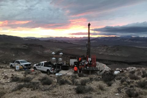
AngloGold eyes autonomous haulage advantages at Nevada project
AngloGold Ashanti says it is considering the use of autonomous haulage at its Expanded Silicon...
Read More
08 Jul 2021
Bentley’s Seequent gets geophysical with Aarhus GeoSoftware buy
Bentley Systems’ newly acquired business unit, Seequent, has added Danish company Aarhus GeoSoftware, a developer...
Read More
10 Dec 2020
Seequent looks to mining’s future with latest software updates
Geoscience software company Seequent has revealed major updates to its mining portfolio, focused on improving...
Read More
19 Aug 2020
Seequent’s GeoStudio Core to help geotech engineers tackle major engineering challenges
Geoscience software company Seequent has announced the release of GeoStudio Core, a new, completely reformulated...
Read More
21 Jul 2020
Seequent helps miners in COVID-19 era with remote geoscience software tools
Geoscience software company Seequent says it is accelerating the development of its cloud-based solution, Seequent...
Read More
23 Jun 2020
Seequent addresses contaminants with latest Leapfrog Works extension
Global geoscience software company, Seequent, says it has released a “Contaminants extension” for its 3D...
Read More
Prev
1
2
Next