Join us at The Electric Mine 2026
The Electric Mine 2026
Get IM Free
DOWNLOAD IM
Videos/Webinars
Interviews
Webinars
Videos
2025 Media Pack
Events
Pay Online
Contact
The Electric Mine 2026
Get IM Free
DOWNLOAD IM
Videos/Webinars
Interviews
Webinars
Videos
2025 Media Pack
Events
Pay Online
Contact
IM Magazine
IM Magazine Archives
Past Events
The Electric Mine | Perth 2024 photos
The Electric Mine | Tucson 2023 photos
The Electric Mine | Toronto 2019 photos
Event Papers
The Electric Mine 2023 Conference Papers and Videos
The Electric Mine 2022 Conference Papers
The Electric Mine Virtual Conference 2020 Papers
The Electric Mine 2019 Papers
Helpful Links
Filter by:
All Topics
Automation
Base metals
Bulk handling
Careers in mining
Coal technology
Comminution of minerals
Communications in mining
Diamond mining
Energy minerals
Environmental
Equipment maintenance
Explosives and blasting
Gem stone mining
General
High tech minerals
History of mining
HOF
Industrial minerals
IoT
Marine mining
Metallurgy
Mine operation news
Mine shafts and equipment
Mine surveying
Mine ventilation
Mineral commodities
Mineral exploration
Mineral processing
Mineral project development
Mining consumables
Mining equipment
Mining events
Mining finance
Mining industry recognition
Mining maintenance
Mining mergers and acquisitions
Mining people
Mining policy
Mining project news
Mining safety
Mining services
Mining software
Mining techniques
Power supply for mines
Precious metals
Spotlight Feature Article
Steel and iron ore
Sustainable mining
Uncategorised
Uncategorized
Undersea mining
Videos
Water management
18 Jun 2025
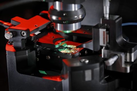
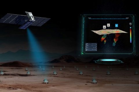
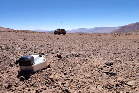
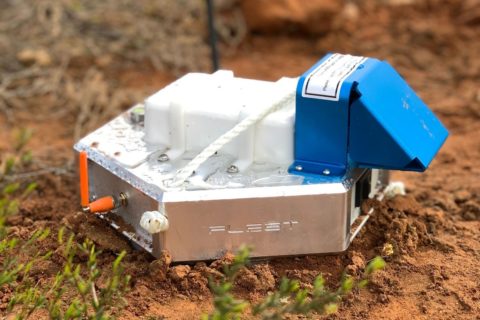
Fleet Space adds ‘next generation’ of sensors to fuel AI-powered mineral exploration growth
Fleet Space has announced a series of partnerships with mDetect, Nomad Atomics and DeteQt to,...
Read More
17 Jun 2025
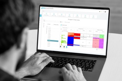
acQuire offers up ‘end-to-end geological data workflow’ with GIM Essentials
acQuire Technology Solutions (acQuire) has launched GIM Essentials to offer companies undertaking resource-generation-based drilling programs...
Read More
14 Apr 2025
Gold Candle unlocks exploration efficiency with Micromine Nexus
Gold Candle Ltd, a Canada-based exploration company, has significantly accelerated its decision making, improved team...
Read More
15 Jan 2025
Ivanhoe Electric to deploy XtremeX Mining’s automated coil tubing rig at Santa Cruz
XtremeX Mining Technology Inc (XMT), a leader in innovative drilling solutions, says its AC-electric automated...
Read More
15 Oct 2024
AI-infused plug-and-play tech stack needed to further exploration, Tata Nardini says
Technological innovation is the cornerstone of human progress. At their best the foundational technologies of...
Read More
02 Oct 2024
Fleet Space Technologies to deploy ExoSphere at Gold Fields’ Salares Norte
Fleet Space Technologies has announced plans to deploy its end-to-end mineral exploration solution, ExoSphere, to...
Read More
10 Jul 2024
Fleet Space to deploy ExoSphere exploration solution at Barrick’s Reko Diq project
Fleet Space Technologies has announced the deployment of its end-to-end mineral exploration solution, ExoSphere, at...
Read More
04 Mar 2024
Fleet Space Technologies adds machine-learning powered features to ExoSphere platform
Fleet Space Technologies has announced three new features to its mineral exploration technology, Exosphere by...
Read More
04 Mar 2024
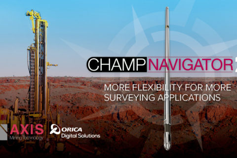
Orica’s Champ Navigator2 to offer high-density true vertical continuous survey measurement
Orica has announced the release of its latest Champ Navigator2™ technology, to enable operators to...
Read More
04 Mar 2024
SBQuantum and Silicon Microgravity to accelerate underground mineral deposit discovery
SBQuantum, a company claiming to be the first developing diamond quantum magnetometers to accelerate critical...
Read More
27 Feb 2024
IMDEX to launch next-generation digital core orientation tool at PDAC 2024
IMDEX says it will use this year's PDAC forum to feature its next-generation digital core...
Read More
16 Feb 2024
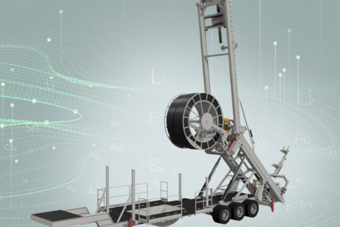
DIG CT to bring MinEx CRC’s RoXplorer coiled tubing drilling tech to the market
MinEx CRC says has struck a commercialisation deal with DIG CT, a niche Australia-based drilling...
Read More
Prev
1
2
3
…
7
Next