Join us at The Electric Mine 2026
The Electric Mine 2026
Get IM Free
DOWNLOAD IM
Videos/Webinars
Interviews
Webinars
Videos
2025 Media Pack
Events
Pay Online
Contact
The Electric Mine 2026
Get IM Free
DOWNLOAD IM
Videos/Webinars
Interviews
Webinars
Videos
2025 Media Pack
Events
Pay Online
Contact
IM Magazine
IM Magazine Archives
Past Events
The Electric Mine | Perth 2024 photos
The Electric Mine | Tucson 2023 photos
The Electric Mine | Toronto 2019 photos
Event Papers
The Electric Mine 2023 Conference Papers and Videos
The Electric Mine 2022 Conference Papers
The Electric Mine Virtual Conference 2020 Papers
The Electric Mine 2019 Papers
Helpful Links
Filter by:
All Topics
Automation
Base metals
Bulk handling
Careers in mining
Coal technology
Comminution of minerals
Communications in mining
Diamond mining
Energy minerals
Environmental
Equipment maintenance
Explosives and blasting
Gem stone mining
General
High tech minerals
History of mining
HOF
Industrial minerals
IoT
Marine mining
Metallurgy
Mine operation news
Mine shafts and equipment
Mine surveying
Mine ventilation
Mineral commodities
Mineral exploration
Mineral processing
Mineral project development
Mining consumables
Mining equipment
Mining events
Mining finance
Mining industry recognition
Mining maintenance
Mining mergers and acquisitions
Mining people
Mining policy
Mining project news
Mining safety
Mining services
Mining software
Mining techniques
Power supply for mines
Precious metals
Spotlight Feature Article
Steel and iron ore
Sustainable mining
Uncategorised
Uncategorized
Undersea mining
Videos
Water management
14 Nov 2023
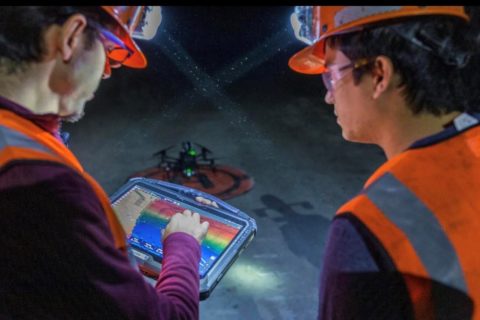
Exyn Technologies brings in Brandon Torres Declet for next growth drive
Exyn Technologies has appointed Brandon Torres Declet as CEO to drive its next phase of...
Read More
30 Apr 2023
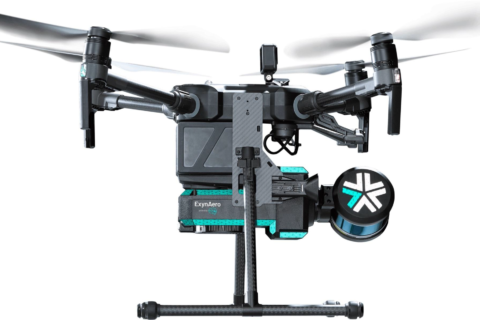
Jaguar Mining to deploy ExynAero autonomous robot for cavity monitoring in Brazil
Exyn Technologies and NSS Canada say they have expanded their footprint with Jaguar Mining in...
Read More
23 Dec 2022
Exyn Technologies out for further AI-backed drone growth with latest financing
Exyn Technologies has announced a successful $35 million Series B round of funding that will,...
Read More
16 Nov 2022
Delta Drone and Strayos team up to improve mine site decision making
Drone-based data provider, Delta Drone International Limited, has announced a new product addition to its...
Read More
07 Jul 2022
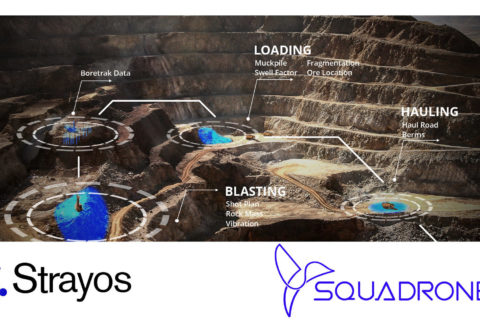
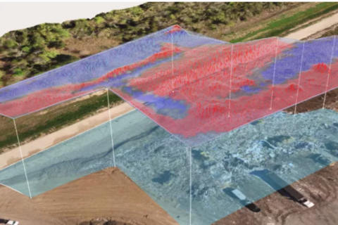
Strayos, Squadrone combine AI and drone mapping nous to optimise Indian mining sector
US-based Strayos and India-based Squadrone have announced a new partnership that will combine mine-to-mill artificial...
Read More
14 Jun 2022
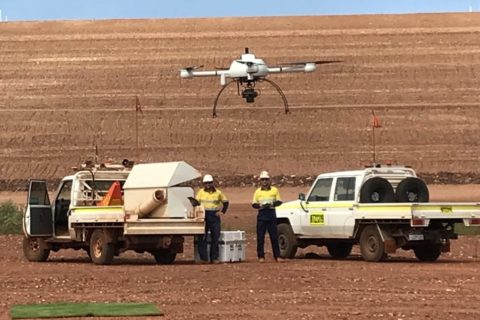
Propeller Aero and Quantum Systems team up to improve drone survey accuracy and time
Propeller Aero, the drone data visualisation and analytics platform, and Quantum-Systems, the Unmanned Aircraft Systems...
Read More
26 May 2022
Flight Safety Foundation helping miners assess drone risks
Flight Safety Foundation’s Basic Aviation Risk Standard (BARS) Program, working in collaboration with some of...
Read More
09 May 2022
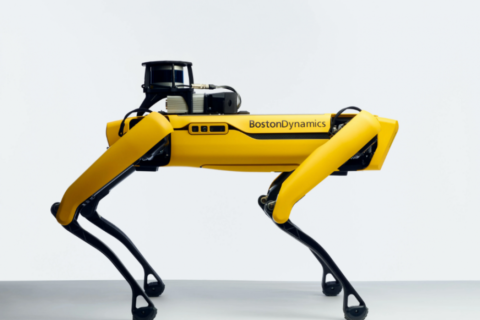
Dwyka and Maestro showcase robotic mobile gas sensing solution at Indaba
Dwyka Mining Services, an authorised reseller of Maestro Digital Mine, has used the 2022 Investing...
Read More
19 Jan 2022
Nexxis and Blueprint Lab collaborate on remote maintenance inspection tools
A partnerhip between two leaders in the robotics industry is, the companies say, set to...
Read More
17 Jan 2022
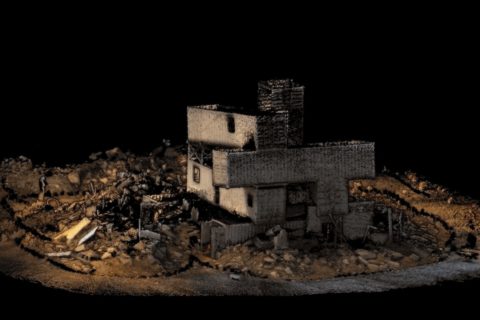
Exyn Technologies accelerates colourised 3D model capture with ExynPak
Exyn Technologies has unveiled what it says is the world's first real-time colourised point cloud...
Read More
15 Oct 2021
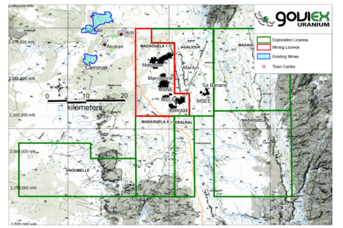
Delta Drone to perform virtual 3D model baseline survey for GoviEx at Madaouela
Delta Drone International is set to enter the Niger market for the first time after...
Read More
07 Oct 2021
Nexxis wins AMGC backing for Magneto robotic technology development
Perth, Western Australia-based robotics company Nexxis has been awarded a A$675,000 ($491,420) Advanced Manufacturing Growth...
Read More
Prev
1
2
3
…
5
Next