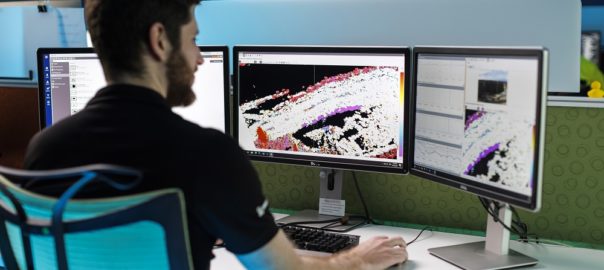
A collaboration with mining operations across the globe has resulted in the development of a new atmospheric correction algorithm for Slope Stability Radar (SSR) that, GroundProbe says, provides a step change in the way atmospherics are treated and managed.
Precision Atmospherics is the most advanced correction algorithm in the market today, according to the company, able to distinguish and significantly reduce the noise caused by the most turbulent atmospheric conditions, providing a decisively clearer picture of real deformation.
It is the result of several years of rigorous development, testing and evolution, and represents one of the most significant research and development projects GroundProbe has ever undertaken, the company says. GroundProbe partnered with a global collection of mines in different climatic regions in the extensive validation program, including one of the largest open-pit mines in the world, Rio Tinto Kennecott’s Bingham Canyon copper mine in Utah, the US.
Rio Tinto Kennecott’s Senior Engineer, Geotech, Dustin Hicks, has been part of Precision Atmospherics development and testing since 2019, when first presented to Kennecott’s Bingham Canyon mine.
“GroundProbe delivered an SSR-Omni equipped with Precision Atmospherics to Bingham Canyon to demonstrate its capability in the rapidly changing atmospheric environment that our site experiences,” Hicks said.
“The Precision Atmospherics algorithm effectively managed a variety of atmospheric conditions including blast and wind induced dust plumes, rain and snow, which resulted in significantly less contaminated data.
“It reduced the noise on a scan-by-scan basis, which opens the door for tighter alarm configurations that would otherwise overburden the geotechnical team.”
In complex atmospheres, especially at large mines, atmospheric variability can hinder the ability to detect early-stage movement.
Precision Atmospherics is currently available on GroundProbe’s 2D Real Aperture Radars fleet. The combination of real aperture technologies with this algorithm allows mine sites to have better deformation detection capability in all seasons and conditions, according to the company.
GroundProbe’s Chief Executive Officer, David Noon, said Precision Atmospherics is a game changer in tracking both slow and rapid trends.
“With the smoother plots and cleaner maps that Precision Atmospherics provides, customers can focus their attention on recently started or slow-moving deformation,” he said. “This is important for gleaning the potentially significant geotechnical problems that can only be detected through long-term analysis.
“Both rapid and slow trends are shown in a single data set, and unlike other techniques, there is no post-processing required to detect slow movements.”
Alberto Cabrejo, GroundProbe’s Global Practice Lead – Geotechnical Advisory, added: “Precision Atmospherics is the most important addition to the monitoring practice using interferometric radars. It responds directly to the most important request from Geotechnical Engineers around the world: data quality.
“With this algorithm, we can finally use tight alarms appropriate for rock mass deformation rather than alarms that will not be triggered by weather changes.”


